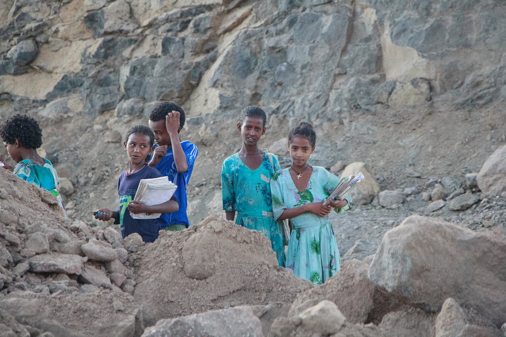
Up Ron & Marjolijn's holiday pictures » 2013-11 Ethiopia » 05-Axum Prev Next Slideshow

 Previous image  Next image  Index page  Original Image [04-School children.jpg - 986kB]


01-Descent of Semien Mountains
02-Descent of Semien Mountains
03-Descent of Semien Mountains
  04-School children.jpg - School children  
05-Local in Adi Ar Kay
06-Simien Mountains from Adi Ar Kay
07-Children in Adi Ar Kay
08-Children in Adi Ar Kay
09-Landscape between Adi Ar Kay and Tekeze River
10-Landscape between Adi Ar Kay and Tekeze River
11-Landscape between Adi Ar Kay and Tekeze River
12-Bridge over Tekeze River
13-The dirt road between Debark and Axum is paved
14-Child in Grace Village
15-Child in Grace Village
16-Child in Grace Village

School children Download Original Image
Latitude: N 13°26'56,02" | Longitude: E 38°3'39,72" | Altitude: 1561 metres | Location: Ch’ew Ber | State/Province: Amhara Region | Country: Ethiopië | Copyright: Ron Harkink | See map
Total images: 33 | Help